2023 Map of Sinking Spring
USGS Topo · Published 2023About this map
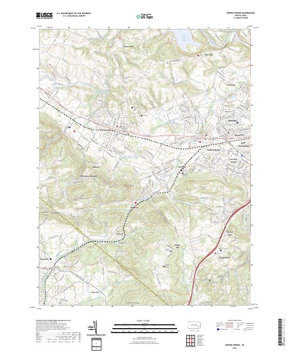
Blue Marsh Lake and the winding course of Tulpehocken Creek define the northern reaches of this Pennsylvania landscape, where the transition from suburban development to rural hillsides is clearly visible. The region is marked by a dense concentration of historical burial sites and community centers, including Saint John's Hains Cem and the Jesuit Cem near Wernersville. The terrain rises significantly toward the south at Cushion Peak and Mohns Hill, overlooking a series of small settlements such as Fritztown and Vinemont.
Find a feature on this map
245 named features on this map. Tap any name to fly to it.
Don’t see what you’re looking for? This feature index may not catch every label — zoom into the map to look around manually.
Map Details
Editions of this 2023 Sinking Spring Map
This is the sole edition of this map. No revisions or reprints were ever made.
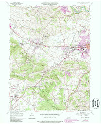
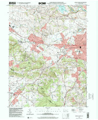
Historical Maps of Villa Maria Infirmary Through Time
3 maps found
Featured Locations
- West Cocalico Township, PA
- Wernersville, PA
- Sinking Spring, PA
- North Heidelberg Township, PA
- Reinholds, West Cocalico Township