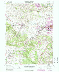
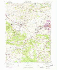
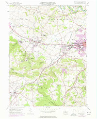
1955 Map of Sinking Spring
USGS Topo · Published 1987About this map
Wernersville State Hospital and the Novitiate of St Isaac Jogues dominate the rising landscape south of Wernersville in this mid-century survey of Berks and Lancaster counties. The map captures a transitional era for the region, where the industrial footprint of the Conrail line and residential expansions in Sinking Spring and West Wyomissing meet the rural traditions of the Pennsylvania Dutch countryside.
Find a feature on this map
74 named features on this map. Tap any name to fly to it.
Don’t see what you’re looking for? This feature index may not catch every label — zoom into the map to look around manually.
Map Details
Editions of this 1955 Sinking Spring Map
6 editions found
Other maps of this area

1894 · Reading
USGS Topo · 1:62,500

1902 · Wernersville
USGS Topo · 1:62,500

1905 · Honey Brook
USGS Topo · 1:62,500

1906 · New Holland
USGS Topo · 1:62,500

1907 · Honeybrook
USGS Topo · 1:62,500

1908 · New Holland
USGS Topo · 1:62,500

1913 · Reading
USGS Topo · 1:62,500

1915 · Reading
USGS Topo · 1:62,500

1941 · Honeybrook
USGS Topo · 1:62,500

1941 · New Holland
USGS Topo · 1:62,500
Featured Places
- Sinking Spring, PA
- Wernersville, PA
- Reinholds, West Cocalico Township
- North Heidelberg Township, PA
- West Cocalico Township, PA