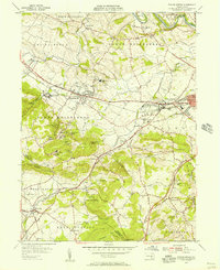
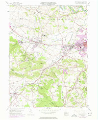
1955 Map of Sinking Spring
USGS Topo · Published 1956About this map
Cacoosing Creek and the Reading railroad corridor anchor this mid-century portrait of Berks County, where the transition from agricultural valley to forested ridge is marked by significant institutional landmarks. The sprawling grounds of the Wernersville State Hospital sit just west of Wernersville, while the heights of Cushion Peak and Laurel Ridge overlook a landscape dotted with spiritual and recreational retreats like Galen Hall, the YMCA Camp, and Camp Indiandale.
Find a feature on this map
69 named features on this map. Tap any name to fly to it.
Don’t see what you’re looking for? This feature index may not catch every label — zoom into the map to look around manually.
Map Details
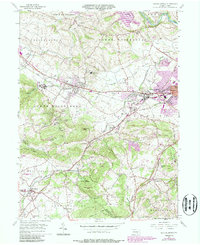
Editions of this 1955 Sinking Spring Map
6 editions found
Other maps of this area

1894 · Reading
USGS Topo · 1:62,500

1902 · Wernersville
USGS Topo · 1:62,500

1905 · Honey Brook
USGS Topo · 1:62,500

1906 · New Holland
USGS Topo · 1:62,500

1907 · Honeybrook
USGS Topo · 1:62,500

1908 · New Holland
USGS Topo · 1:62,500

1913 · Reading
USGS Topo · 1:62,500

1915 · Reading
USGS Topo · 1:62,500

1941 · Honeybrook
USGS Topo · 1:62,500

1941 · New Holland
USGS Topo · 1:62,500
Featured Places
- Sinking Spring, PA
- Wernersville, PA
- Reinholds, West Cocalico Township
- North Heidelberg Township, PA
- West Cocalico Township, PA