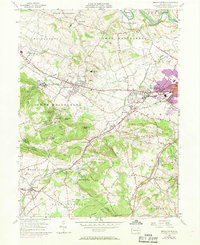
1955 Map of Sinking Spring
USGS Topo · Published 1969About this map
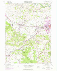
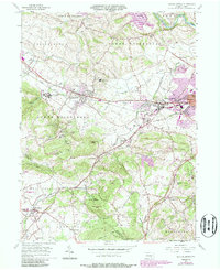
The extensive campus of the Wernersville State Hospital dominates the western slopes of South Mountain, looking out over a landscape defined by the intersection of traditional Pennsylvania German farming communities and the growing industrial influence of the Reading railroad corridor. The area is marked by a string of borough settlements along the Benjamin Franklin Highway, including Wernersville and Sinking Spring, where early 1950s residential patterns begin to shift toward suburban expansion, as noted by later revisions near West Wyomissing.
Find a feature on this map
68 named features on this map. Tap any name to fly to it.
Don’t see what you’re looking for? This feature index may not catch every label — zoom into the map to look around manually.
Map Details
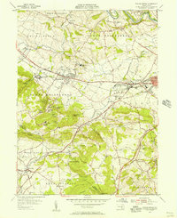
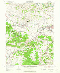
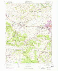
Editions of this 1955 Sinking Spring Map
6 editions found
Other maps of this area

1894 · Reading
USGS Topo · 1:62,500

1902 · Wernersville
USGS Topo · 1:62,500

1905 · Honey Brook
USGS Topo · 1:62,500

1906 · New Holland
USGS Topo · 1:62,500

1907 · Honeybrook
USGS Topo · 1:62,500

1908 · New Holland
USGS Topo · 1:62,500

1913 · Reading
USGS Topo · 1:62,500

1915 · Reading
USGS Topo · 1:62,500

1941 · Honeybrook
USGS Topo · 1:62,500

1941 · New Holland
USGS Topo · 1:62,500
Featured Places
- Sinking Spring, PA
- Wernersville, PA
- Reinholds, West Cocalico Township
- North Heidelberg Township, PA
- West Cocalico Township, PA