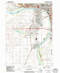
1993 Map of Sioux City South
USGS Topo · Published 1995About this map
The Missouri River and Big Sioux River converge at this three-state junction, defining a landscape of sprawling riverfront parks and industrial infrastructure during the early 1990s. In South Sioux City and Dakota City, the street grid is dense with civic landmarks, including the Courthouse and several schools like Harney Sch and Bryan Sch. To the south, the Sioux Gateway Airport occupies the flatlands near an old railroad grade, signaling the area's transition from rail to air transport.
Find a feature on this map
58 named features on this map. Tap any name to fly to it.
Don’t see what you’re looking for? This feature index may not catch every label — zoom into the map to look around manually.
Map Details
Editions of this 1993 Sioux City South Map
This is the sole edition of this map. No revisions or reprints were ever made.
Other maps of this area

1898 · Elk Point
USGS Topo · 1:125,000

1901 · Elk Point
USGS Topo · 1:125,000

1907 · Elk Point
USGS Topo · 1:125,000

1955 · Sioux City
USGS Topo · 1:250,000

1958 · Sioux City
USGS Topo · 1:250,000

1959 · Sioux City
USGS Topo · 1:250,000

1963 · Sioux City South
USGS Topo · 1:24,000

1963 · Sioux City North
USGS Topo · 1:24,000

1963 · Jefferson
USGS Topo · 1:24,000

1964 · Sergeant Bluff
USGS Topo · 1:24,000