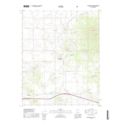
2018 Map of Sitgreaves Mountain
USGS Topo · Published 2018About this map
Williams serves as the focal point of this high-altitude landscape within the Kaibab National Forest, where the transition from the forested slopes of Sitgreaves Mtn to the open basins of Red Lake Valley and Pitman Valley is clearly defined. The mapping reveals a complex network of historic transportation routes and modern infrastructure, featuring the iconic Old Rte "66" and the Great Western Trail traversing the volcanic terrain. Numerous water management features, such as Davenport Lake, Dry Lake, and various stock tanks like Buggy Wheel Tank and Schoolhouse Tank, underscore the regional reliance on collected surface water. From the prominence of Hardy Hill and Beacon Hill to the unique geological depression of Keyhole Sink, the map details a land of cinder cones and sinks used for both grazing and recreation.
Find a feature on this map
61 named features on this map. Tap any name to fly to it.
Don’t see what you’re looking for? This feature index may not catch every label — zoom into the map to look around manually.
Map Details
Editions of this 2018 Sitgreaves Mountain Map
This is the sole edition of this map. No revisions or reprints were ever made.
Other maps of this area

1886 · San Francisco Mtns
USGS Topo · 1:250,000

1886 · Chino
USGS Topo · 1:250,000

1891 · San Francisco Mtns
USGS Topo · 1:250,000

1891 · Chino
USGS Topo · 1:250,000

1894 · San Francisco Mtns
USGS Topo · 1:250,000

1899 · San Francisco Mtns
USGS Topo · 1:250,000

1908 · Flagstaff
USGS Topo · 1:125,000

1912 · Flagstaff
USGS Topo · 1:125,000

1922 · Williams
USGS Topo · 1:125,000

1947 · Flagstaff
USGS Topo · 1:250,000