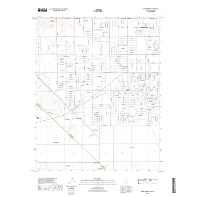
2018 Map of Sixmile Spring
USGS Topo · Published 2018About this map
Pahrump sits at the center of this 2018 survey, showcasing the expansive residential and ranching grid developed in the Pahrump Valley. The map details a dense network of local roads such as Adkisson St and Betty Ave, alongside family-named landmarks like 2 T Ranch Ln and Ranch St. This layout reflects the modern growth of this desert community, where a strict Cartesian grid of streets meets the arid terrain of the Mojave Desert.
Find a feature on this map
150 named features on this map. Tap any name to fly to it.
Don’t see what you’re looking for? This feature index may not catch every label — zoom into the map to look around manually.
Map Details
Editions of this 2018 Sixmile Spring Map
This is the sole edition of this map. No revisions or reprints were ever made.
Other maps of this area

1907 · Las Vegas
USGS Topo · 1:250,000

1908 · Furnace Creek
USGS Topo · 1:250,000

1908 · Las Vegas
USGS Topo · 1:250,000

1910 · Furnace Creek
USGS Topo · 1:250,000

1948 · Death Valley
USGS Topo · 1:250,000

1954 · Las Vegas
USGS Topo · 1:250,000

1954 · Death Valley
USGS Topo · 1:250,000

1956 · Death Valley
USGS Topo · 1:250,000

1957 · Las Vegas
USGS Topo · 1:250,000

1957 · Death Valley
USGS Topo · 1:250,000