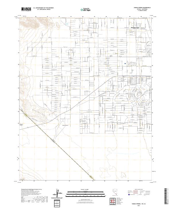
2021 Map of Sixmile Spring
USGS Topo · Published 2021About this map
The high-desert settlement of Pahrump sits at the eastern edge of this modern survey, where a grid of residential and commercial streets reaches toward the California border. This landscape transitions from the developed valley floor into the arid reaches of the Mojave Desert and the uplifted Devils Hole Hills. Evidence of the area's hydrology and namesake is found at Sixmile Spring, a vital water source in this otherwise dry basin.
Find a feature on this map
36 named features on this map. Tap any name to fly to it.
Don’t see what you’re looking for? This feature index may not catch every label — zoom into the map to look around manually.
Map Details
Editions of this 2021 Sixmile Spring Map
This is the sole edition of this map. No revisions or reprints were ever made.
Other maps of this area

1907 · Las Vegas
USGS Topo · 1:250,000

1908 · Furnace Creek
USGS Topo · 1:250,000

1908 · Las Vegas
USGS Topo · 1:250,000

1910 · Furnace Creek
USGS Topo · 1:250,000

1948 · Death Valley
USGS Topo · 1:250,000

1954 · Las Vegas
USGS Topo · 1:250,000

1954 · Death Valley
USGS Topo · 1:250,000

1956 · Death Valley
USGS Topo · 1:250,000

1957 · Las Vegas
USGS Topo · 1:250,000

1957 · Death Valley
USGS Topo · 1:250,000