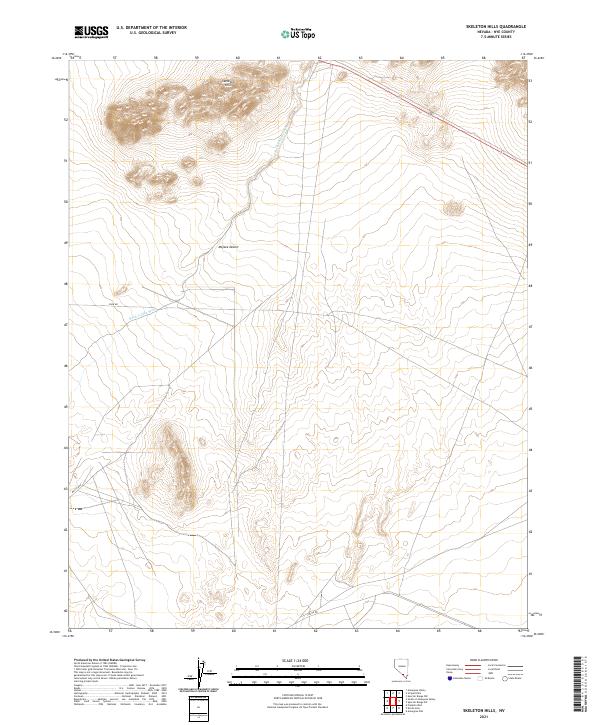
2021 Map of Skeleton Hills
USGS Topo · Published 2021About this map
Skeleton Hills dominates the northern landscape of this Nye County quadrant, rising abruptly from the surrounding desert floor. This 2021 survey by the U.S. Geological Survey documents a stretch of the Mojave Desert characterized by its drainage patterns and sparsely distributed infrastructure. The winding course of Rock Valley Wash cuts through the terrain, serving as the primary hydrologic feature in a region defined by its arid environment and large-scale public land divisions.
Find a feature on this map
12 named features on this map. Tap any name to fly to it.
Don’t see what you’re looking for? This feature index may not catch every label — zoom into the map to look around manually.
Map Details
Editions of this 2021 Skeleton Hills Map
This is the sole edition of this map. No revisions or reprints were ever made.
Other maps of this area

1908 · Furnace Creek
USGS Topo · 1:250,000

1910 · Furnace Creek
USGS Topo · 1:250,000

1942 · Skull Mountain
USGS Topo · 1:125,000

1948 · Death Valley
USGS Topo · 1:250,000

1952 · Ash Meadows
USGS Topo · 1:62,500

1952 · Specter Range
USGS Topo · 1:62,500

1954 · Death Valley
USGS Topo · 1:250,000

1956 · Death Valley
USGS Topo · 1:250,000

1957 · Death Valley
USGS Topo · 1:250,000

1958 · Death Valley
USGS Topo · 1:250,000