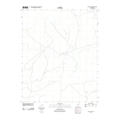
2010 Map of Skull Mesa
USGS Topo · Published 2010About this map
Skull Mesa rises above the high plains of Union County in this 2010 survey, which details a landscape defined by seasonal drainages and scattered ranching activity. The prominent landform of Shaw Breaks cuts across the western portion of the quadrangle, while Tramperos Creek and Pinabetes Creek provide the primary hydrologic structure for the area. Evidence of local habitation and land use is centered around Zurick Ranch, situated near the intersection of several local routes. This map provides a clear record of the high-desert terrain and remote water sources like Dripping Springs, documenting the sparse but essential infrastructure of northeastern New Mexico's ranching country in the early 21st century. The southeastern corner of the sheet is anchored by Rock Hill, where County Hwy C-118 enters the survey area.
Find a feature on this map
9 named features on this map. Tap any name to fly to it.
Don’t see what you’re looking for? This feature index may not catch every label — zoom into the map to look around manually.
Map Details
Editions of this 2010 Skull Mesa Map
This is the sole edition of this map. No revisions or reprints were ever made.
Other maps of this area

1954 · Tucumcari
USGS Topo · 1:250,000

1954 · Dalhart
USGS Topo · 1:250,000

1958 · Tucumcari
USGS Topo · 1:250,000

1958 · Dalhart
USGS Topo · 1:250,000

1962 · Dalhart
USGS Topo · 1:250,000

1966 · Skull Mesa
USGS Topo · 1:24,000

1966 · Pedernal Creek
USGS Topo · 1:24,000

1966 · Clapham
USGS Topo · 1:24,000

1966 · Car Top Butte
USGS Topo · 1:24,000

1966 · Hayden
USGS Topo · 1:24,000