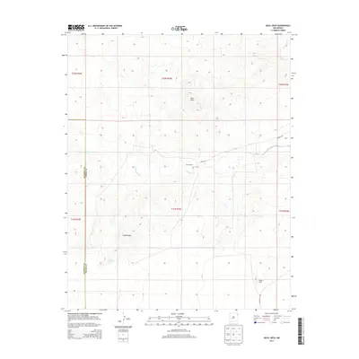
2013 Map of Skull Mesa
USGS Topo · Published 2013About this map
Zurick Ranch sits at the heart of this high plains landscape on the border of Union and Harding counties. The terrain is defined by dramatic breaks and mesas, most notably the namesake Skull Mesa and the sweeping Shaw Breaks to the southwest. This 2013 survey illustrates a quintessential New Mexico ranching environment where life and movement follow the intermittent flow of desert waterways. Water sources are critical landmarks here, including the seasonal Tramperos Creek and the localized Dripping Springs. The map documents a sparse but essential transportation network, tracing the path of Zurich Rd and Co Highway C-116 as they navigate around topographical obstacles like Rock Hill. For those studying the rural land use and genealogy of northeastern New Mexico, this sheet provides a contemporary look at longstanding ranching territories.
Find a feature on this map
17 named features on this map. Tap any name to fly to it.
Don’t see what you’re looking for? This feature index may not catch every label — zoom into the map to look around manually.
Map Details
Editions of this 2013 Skull Mesa Map
This is the sole edition of this map. No revisions or reprints were ever made.
Other maps of this area

1954 · Tucumcari
USGS Topo · 1:250,000

1954 · Dalhart
USGS Topo · 1:250,000

1958 · Tucumcari
USGS Topo · 1:250,000

1958 · Dalhart
USGS Topo · 1:250,000

1962 · Dalhart
USGS Topo · 1:250,000

1966 · Skull Mesa
USGS Topo · 1:24,000

1966 · Pedernal Creek
USGS Topo · 1:24,000

1966 · Clapham
USGS Topo · 1:24,000

1966 · Car Top Butte
USGS Topo · 1:24,000

1966 · Hayden
USGS Topo · 1:24,000