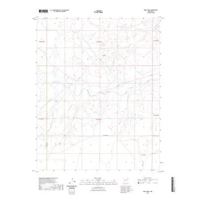
2023 Map of Skull Mesa
USGS Topo · Published 2023About this map
Skull Mesa dominates the northern half of this landscape on the border of Union and Harding counties, a high plateau rising above the surrounding drainages of northeastern New Mexico. The area is defined by the network of seasonal waterways including Tramperos Creek and Pinabetes Creek that cut through the ranchland. Local transport relies on a grid of county routes and named tracks such as Perschbacher Rd and Hayden Rd, which connect the scattered rural homesteads in this part of the high plains. In the southern portion of the map, Rock Hill provides another distinctive topographical landmark near the intersection of these local roads. Small, vital water sources like Dripping Springs appear as significant features in this dry environment, indicating their importance to the local agricultural and ranching history of the region.
Find a feature on this map
16 named features on this map. Tap any name to fly to it.
Don’t see what you’re looking for? This feature index may not catch every label — zoom into the map to look around manually.
Map Details
Editions of this 2023 Skull Mesa Map
This is the sole edition of this map. No revisions or reprints were ever made.
Other maps of this area

1954 · Tucumcari
USGS Topo · 1:250,000

1954 · Dalhart
USGS Topo · 1:250,000

1958 · Tucumcari
USGS Topo · 1:250,000

1958 · Dalhart
USGS Topo · 1:250,000

1962 · Dalhart
USGS Topo · 1:250,000

1966 · Skull Mesa
USGS Topo · 1:24,000

1966 · Pedernal Creek
USGS Topo · 1:24,000

1966 · Clapham
USGS Topo · 1:24,000

1966 · Car Top Butte
USGS Topo · 1:24,000

1966 · Hayden
USGS Topo · 1:24,000