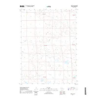
2017 Map of Skunk Lake
USGS Topo · Published 2017About this map
Skunk Lake sits at the heart of this Sheridan County landscape, characterized by a series of shallow basins and ephemeral water bodies within the Nebraska Sandhills. This 2017 survey illustrates the sparse, rural nature of the region, where water sources like Goose Lake and Dillings Lake are the primary landmarks. The terrain is navigated by remote paths such as 326th Trl and 298th Trl, reflecting the high-plains isolation and large-scale ranching patterns common to the area. These roads and water features are framed by the Public Land Survey System grid, including boundaries for t27n r45w and t27n r44w, which dictate the spatial organization of this prairie environment. Long Lake marks the southwestern extent of the mapped area, providing a point of reference for those studying the hydrology and land use of the northern Nebraska interior.
Find a feature on this map
12 named features on this map. Tap any name to fly to it.
Don’t see what you’re looking for? This feature index may not catch every label — zoom into the map to look around manually.
Map Details
Editions of this 2017 Skunk Lake Map
This is the sole edition of this map. No revisions or reprints were ever made.
Other maps of this area

1948 · Antioch
USGS Topo · 1:62,500

1948 · Lakeside
USGS Topo · 1:62,500

1948 · Twin Lakes
USGS Topo · 1:62,500

1949 · Antioch
USGS Topo · 1:62,500

1950 · Twin Lakes
USGS Topo · 1:62,500

1950 · Lakeside
USGS Topo · 1:62,500

1950 · Skunk Lake
USGS Topo · 1:62,500

1955 · Alliance
USGS Topo · 1:250,000

1957 · Alliance
USGS Topo · 1:250,000

1958 · Alliance
USGS Topo · 1:250,000