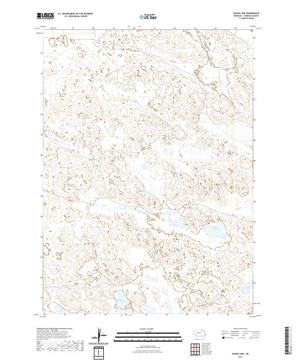
2021 Map of Skunk Lake
USGS Topo · Published 2021About this map
Skunk Lake and its neighboring basins define this corner of Sheridan County, where the high-plains hydrology of northwestern Nebraska is on full display. The landscape is characterized by numerous small depressions and seasonal wetlands typical of the Sandhills region, with Dillings Lake and Goose Lake providing permanent water features in an otherwise arid grazing landscape. Settlement here is exceptionally sparse, defined more by the grid of the Public Land Survey System than by towns, with the terrain partitioned into sections under townships like t27n r45w and t26n r45w. Transportation is limited to remote tracks such as 326th Trl and 298th Trl, which navigate the interdunal valleys. This map captures the area in 2021, showing the enduring reliance on these isolated trails to access the scattered lakes and ranch lands that have sustained this region for generations.
Find a feature on this map
12 named features on this map. Tap any name to fly to it.
Don’t see what you’re looking for? This feature index may not catch every label — zoom into the map to look around manually.
Map Details
Editions of this 2021 Skunk Lake Map
This is the sole edition of this map. No revisions or reprints were ever made.
Other maps of this area

1948 · Antioch
USGS Topo · 1:62,500

1948 · Lakeside
USGS Topo · 1:62,500

1948 · Twin Lakes
USGS Topo · 1:62,500

1949 · Antioch
USGS Topo · 1:62,500

1950 · Twin Lakes
USGS Topo · 1:62,500

1950 · Lakeside
USGS Topo · 1:62,500

1950 · Skunk Lake
USGS Topo · 1:62,500

1955 · Alliance
USGS Topo · 1:250,000

1957 · Alliance
USGS Topo · 1:250,000

1958 · Alliance
USGS Topo · 1:250,000