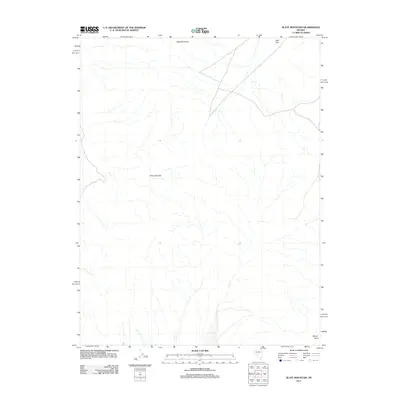
2011 Map of Slate Mountain
USGS Topo · Published 2011About this map
Slate Mountain anchors the high ground of this desert landscape in central Nevada, overlooking a network of ephemeral drainages and dry washes. The terrain transitions from the heights of Slate Mountain in the north toward the lower expanse of Bell Flat at the northeastern corner of the sheet. Further south, the Sinkavata Hills rise from the valley floor, while Mount Anna marks a prominent point at the southeastern boundary. This 2011 survey, produced by the U.S. Geological Survey, details a landscape primarily shaped by its hydrology and elevation, where the lack of permanent settlements emphasizes the dominance of its natural landforms and the isolation characteristic of this corner of Nye County.
Find a feature on this map
4 named features on this map. Tap any name to fly to it.
Don’t see what you’re looking for? This feature index may not catch every label — zoom into the map to look around manually.
Map Details
Editions of this 2011 Slate Mountain Map
This is the sole edition of this map. No revisions or reprints were ever made.
Other maps of this area

1908 · Carson Sink
USGS Topo · 1:250,000

1909 · Hawthorne
USGS Topo · 1:250,000

1910 · Carson Sink
USGS Topo · 1:250,000

1911 · Hawthorne
USGS Topo · 1:250,000

1915 · Hawthorne
USGS Topo · 1:250,000

1948 · Walker Lake
USGS Topo · 1:250,000

1957 · Walker Lake
USGS Topo · 1:250,000

1957 · Reno
USGS Topo · 1:250,000

1959 · Reno
USGS Topo · 1:250,000

1960 · Reno
USGS Topo · 1:250,000