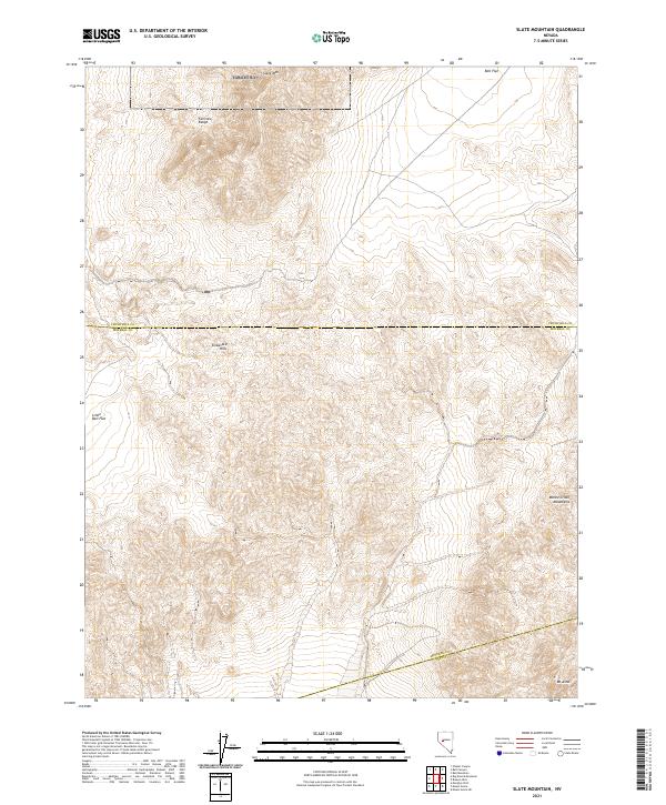
2021 Map of Slate Mountain
USGS Topo · Published 2021About this map
The Fairview Range dominates the northern landscape of this remote Nevada quadrangle, where the high peak of Slate Mtn stands above the surrounding basin. This area is defined by the intersection of several county boundaries, including the line between Churchill and Mineral counties, as well as the southern border where Mineral and Nye counties meet. The terrain transitions from the high peaks of the Monte Cristo Mountains and Mt Anna in the southeast to the broad, arid stretches of Bell Flat and Little Bell Flat in the west.
Find a feature on this map
15 named features on this map. Tap any name to fly to it.
Don’t see what you’re looking for? This feature index may not catch every label — zoom into the map to look around manually.
Map Details
Editions of this 2021 Slate Mountain Map
This is the sole edition of this map. No revisions or reprints were ever made.
Other maps of this area

1908 · Carson Sink
USGS Topo · 1:250,000

1909 · Hawthorne
USGS Topo · 1:250,000

1910 · Carson Sink
USGS Topo · 1:250,000

1911 · Hawthorne
USGS Topo · 1:250,000

1915 · Hawthorne
USGS Topo · 1:250,000

1948 · Walker Lake
USGS Topo · 1:250,000

1957 · Walker Lake
USGS Topo · 1:250,000

1957 · Reno
USGS Topo · 1:250,000

1959 · Reno
USGS Topo · 1:250,000

1960 · Reno
USGS Topo · 1:250,000