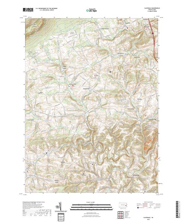
2023 Map of Slatedale
USGS Topo · Published 2023About this map
Blue Mountain and the Appalachian National Scenic Trail dominate the northern landscape of this Lehigh County region, where the ridge line marks the boundary with Carbon County. From the heights of Bake Oven Knob, the land descends into a dense network of Pennsylvania Dutch country settlements and family-named crossroads. The map reveals a high concentration of spiritual and community centers, including Heidelberg Union Cem, Lowhill Church Cem, and Weisenberg Church Cem, reflecting the deep-rooted genealogical heritage of the area.
Find a feature on this map
206 named features on this map. Tap any name to fly to it.
Don’t see what you’re looking for? This feature index may not catch every label — zoom into the map to look around manually.
Map Details
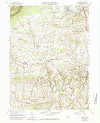
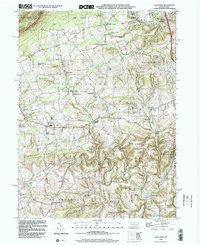
Editions of this 2023 Slatedale Map
This is the sole edition of this map. No revisions or reprints were ever made.
Historical Maps of North Whitehall Township Through Time
3 maps found
Featured Locations
- Weisenberg Township, PA
- Weidasville, Lowhill Township
- Lehigh Furnace, Washington Township
- Best Station, Washington Township
- Diebertsville, Heidelberg Township