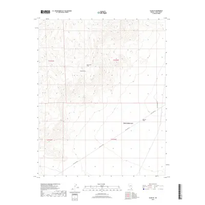
2018 Map of Sloan SE
USGS Topo · Published 2018About this map
The McCullough Range dominates this landscape within the Mojave Desert, marking a transition between high relief and the broad basin of the Eldorado Valley. A portion of the Boulder City boundary extends into the southern reaches of the quadrangle, where the terrain levels out toward the valley floor. The most significant historical transit feature is McCullough Pass, which cuts through the mountains to connect the northern and southern portions of the range. Eldorado Valley Dr skirts the eastern edge of the peaks, providing access to this otherwise unpopulated desert region. The map captures the area as it stood in the late 2010s, defined primarily by its topographic challenges and the slow expansion of municipal borders into the surrounding wilderness.
Find a feature on this map
10 named features on this map. Tap any name to fly to it.
Don’t see what you’re looking for? This feature index may not catch every label — zoom into the map to look around manually.
Map Details
Editions of this 2018 Sloan SE Map
This is the sole edition of this map. No revisions or reprints were ever made.
Other maps of this area

1886 · Camp Mohave
USGS Topo · 1:250,000

1892 · Camp Mohave
USGS Topo · 1:250,000

1910 · Ivanpah
USGS Topo · 1:250,000

1912 · Ivanpah
USGS Topo · 1:250,000

1926 · Nelson
USGS Topo · 1:96,000

1942 · Camp Mohave
USGS Topo · 1:250,000

1942 · Ivanpah
USGS Topo · 1:250,000

1947 · Kingman
USGS Topo · 1:250,000

1948 · Kingman
USGS Topo · 1:250,000

1954 · Kingman
USGS Topo · 1:250,000