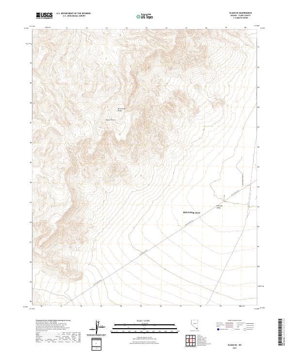
2021 Map of Sloan SE
USGS Topo · Published 2021About this map
The McCullough Range dominates this portion of the Mojave Desert, defining a landscape of dramatic elevation changes and arid basins. While much of the terrain remains undeveloped, the southeastern corner shows the encroaching municipal boundary of Boulder City, indicating the slow outward expansion of southern Nevada's high-desert communities. The low-lying Eldorado Valley provides a stark contrast to the surrounding peaks, serving as a natural corridor through the range.
Find a feature on this map
10 named features on this map. Tap any name to fly to it.
Don’t see what you’re looking for? This feature index may not catch every label — zoom into the map to look around manually.
Map Details
Editions of this 2021 Sloan SE Map
This is the sole edition of this map. No revisions or reprints were ever made.
Other maps of this area

1886 · Camp Mohave
USGS Topo · 1:250,000

1892 · Camp Mohave
USGS Topo · 1:250,000

1910 · Ivanpah
USGS Topo · 1:250,000

1912 · Ivanpah
USGS Topo · 1:250,000

1926 · Nelson
USGS Topo · 1:96,000

1942 · Camp Mohave
USGS Topo · 1:250,000

1942 · Ivanpah
USGS Topo · 1:250,000

1947 · Kingman
USGS Topo · 1:250,000

1948 · Kingman
USGS Topo · 1:250,000

1954 · Kingman
USGS Topo · 1:250,000