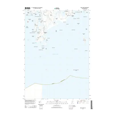
2014 Map of Small Point
USGS Topo · Published 2014About this map
Fort Baldwin stands watch over the entrance to Atkins Bay, a strategic point of the Maine coast where the Sprague River meets the sea. This coastal landscape is defined by its series of fingers and peninsulas, stretching from West Point and Carrying Place Head in the west to the prominent Seguin Island offshore. The area’s maritime history is etched into its geography, from the sheltered waters of Small Point Harbor to the rugged hazards of Pitchpine Ledges and Spoonbowl Ledge.
Find a feature on this map
89 named features on this map. Tap any name to fly to it.
Don’t see what you’re looking for? This feature index may not catch every label — zoom into the map to look around manually.
Map Details
Editions of this 2014 Small Point Map
This is the sole edition of this map. No revisions or reprints were ever made.
Other maps of this area

1893 · Small Point
USGS Topo · 1:62,500

1893 · Boothbay
USGS Topo · 1:62,500

1894 · Bath
USGS Topo · 1:62,500

1919 · Small Point
USGS Topo · 1:62,500

1920 · Bath
USGS Topo · 1:62,500

1941 · Boothbay
USGS Topo · 1:62,500

1943 · Boothbay
USGS Topo · 1:62,500

1944 · Boothbay
USGS Topo · 1:62,500

1944 · Small Point
USGS Topo · 1:62,500

1945 · Bath
USGS Topo · 1:62,500