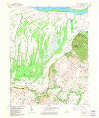
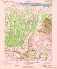
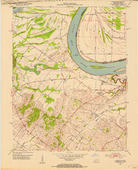
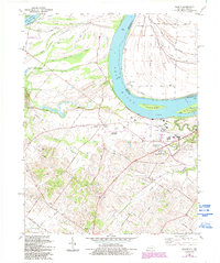
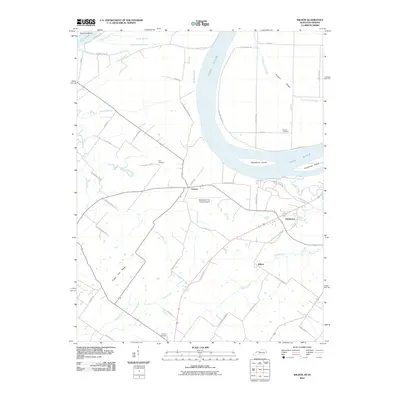
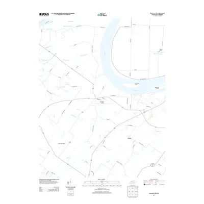
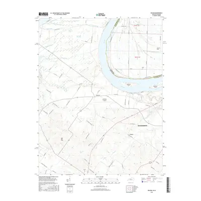
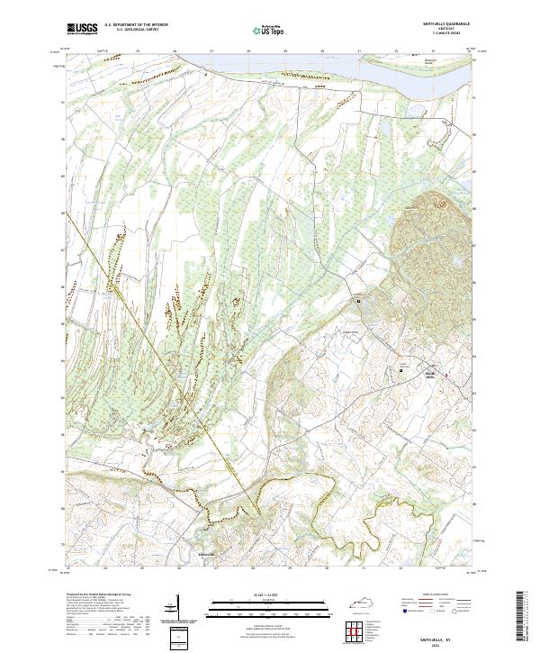
1981 Map of Smith Mills
USGS Topo · Published 1981About this map
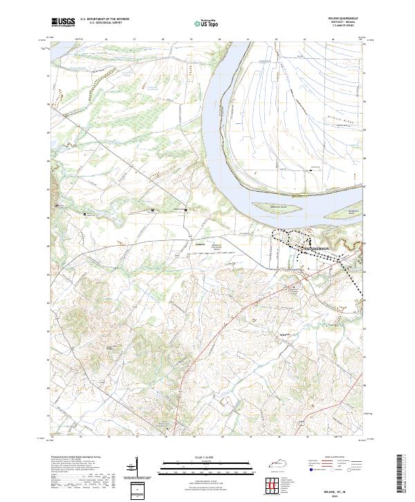
Ohio River bottomlands and the complex wetland systems of Henderson and Union counties dominate this 1981 survey. The landscape is defined by the winding course of Highland Creek and numerous sloughs, including Mill Slough and Hogan Slough, which cut through the low-lying terrain. Much of this area is preserved within the Sloughs Wildlife Management Area Saverheber Unit and the Jenny Hole-Highland Creek Unit. These protected wetlands represent a significant departure from the surrounding industrial activity.
Find a feature on this map
31 named features on this map. Tap any name to fly to it.
Don’t see what you’re looking for? This feature index may not catch every label — zoom into the map to look around manually.
Map Details
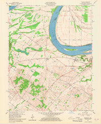
Editions of this 1981 Smith Mills Map
This is the sole edition of this map. No revisions or reprints were ever made.
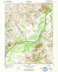
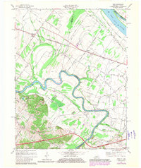
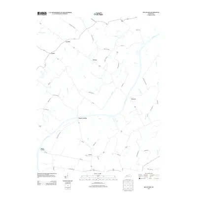
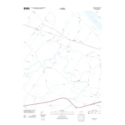
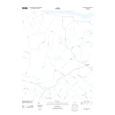
Historical Maps of Smith Mills Through Time
29 maps found
1905 Newburg
Henderson County, KY
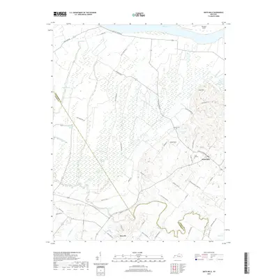
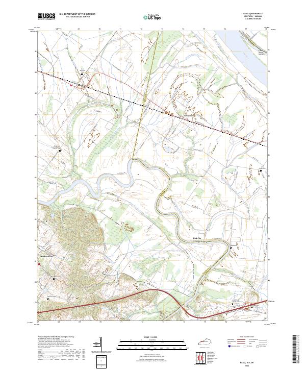
1952 Reed
Henderson County, KY
1952 Smith Mills
Henderson County, KY
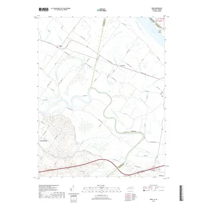
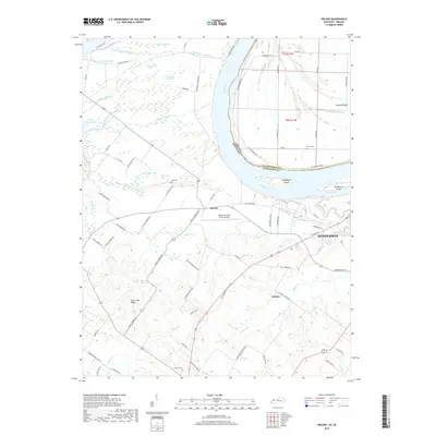
1952 Wilson
Henderson County, KY
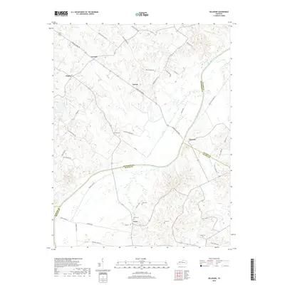
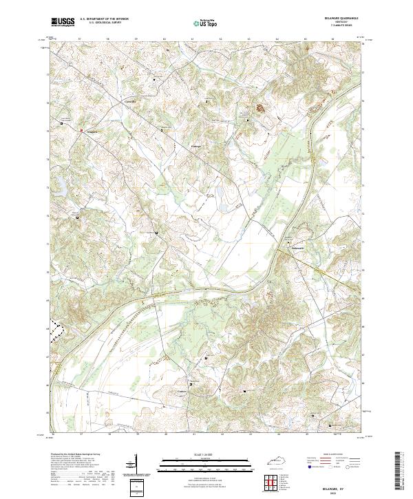
1953 Delaware
Henderson County, KY
1959 Wilson
Henderson County, KY
1971 Reed
Henderson County, KY
1981 Smith Mills
Henderson County, KY
1981 Wilson
Henderson County, KY
2010 Delaware
Henderson County, KY
2010 Reed
Henderson County, KY
2010 Smith Mills
Henderson County, KY
2010 Wilson
Henderson County, KY
2013 Delaware
Henderson County, KY
2013 Reed
Henderson County, KY
2013 Smith Mills
Henderson County, KY
2013 Wilson
Henderson County, KY
2016 Delaware
Henderson County, KY
2016 Reed
Henderson County, KY
2016 Smith Mills
Henderson County, KY
2016 Wilson
Henderson County, KY
2019 Delaware
Henderson County, KY
2019 Reed
Henderson County, KY
2019 Smith Mills
Henderson County, KY
2019 Wilson
Henderson County, KY
2022 Delaware
Henderson County, KY
2022 Reed
Henderson County, KY
2022 Smith Mills
Henderson County, KY
2022 Wilson
Henderson County, KY