Loading...
Loading map...2022 Map of Smithland
USGS Topo · Published 2022About this map
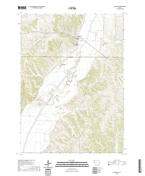
Smithland sits at the northern edge of this Woodbury and Monona County landscape, where the Little Sioux River carves a wide floodplain through the steep bluffs of the Loess Hills. The river’s winding course is the primary geographical anchor, flanked by a series of named ravines including Smoky Hollow, Cottonwood Hollow, and Poverty Hollow. These landforms dictate the settlement patterns, with the town of Rodney and the community of Ticonic positioned along the valley floor.
Find a feature on this map
62 named features on this map. Tap any name to fly to it.
Don’t see what you’re looking for? This feature index may not catch every label — zoom into the map to look around manually.
Map Details
Date Portrayed2022
Date Published2022
PublisherU.S. Geological Survey
Map TypeTopographic
Scale1:24000
Physical Dimensions24 x 29 inches
Editions of this 2022 Smithland Map
This is the sole edition of this map. No revisions or reprints were ever made.
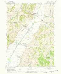
Historical Maps of Ticonic Through Time
Featured Locations
Source Details
SourceU.S. Geological Survey
CopyrightPublic Domain