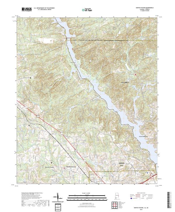
2024 Map of Smiths Station
USGS Topo · Published 2024About this map
Smiths Station and its surrounding Alabama and Georgia borderlands are defined by the winding course of the Chattahoochee River, forming a series of reservoirs including Goat Rock Lake and Lake Oliver. This modern record of the Lee County landscape illustrates the suburban growth stretching from Columbus and Phenix City into more rural enclaves. The terrain is deeply carved by drainage systems like Holland Creek and Turkey Creek, which feed into the river's main channel around Phillips Island.
Find a feature on this map
191 named features on this map. Tap any name to fly to it.
Don’t see what you’re looking for? This feature index may not catch every label — zoom into the map to look around manually.
Map Details
Editions of this 2024 Smiths Station Map
This is the sole edition of this map. No revisions or reprints were ever made.
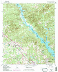
Historical Maps of Lee County Through Time
Featured Locations
- Smiths Station, AL
- Phenix City, AL
- Columbus, GA
- Monterey Heights, Smiths Station
- Carriage Hill, Phenix City