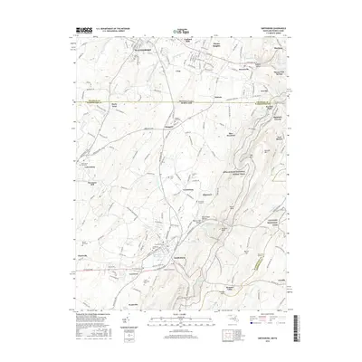
2016 Map of Smithsburg
USGS Topo · Published 2016About this map
Waynesboro and the surrounding borderlands of Pennsylvania and Maryland define this 2016 survey, where the ridge of Blue Mountain forms a natural barrier between the Cumberland and Hagerstown Valleys. The landscape is marked by a high density of early burial grounds, including Green Hill Cem, Ringgold Graveyard, and Saint James Graveyard, providing significant points of interest for genealogical research.
Find a feature on this map
75 named features on this map. Tap any name to fly to it.
Don’t see what you’re looking for? This feature index may not catch every label — zoom into the map to look around manually.
Map Details
Editions of this 2016 Smithsburg Map
This is the sole edition of this map. No revisions or reprints were ever made.
Other maps of this area

1902 · Chambersburg
USGS Topo · 1:62,500

1909 · Fairfield
USGS Topo · 1:62,500

1909 · Hagerstown
USGS Topo · 1:48,000

1911 · Emmitsburg
USGS Topo · 1:62,500

1912 · Hagerstown
USGS Topo · 1:62,500

1942 · Hagerstown
USGS Topo · 1:125,000

1942 · Gettysburg
USGS Topo · 1:125,000

1943 · Emmitsburg
USGS Topo · 1:62,500

1943 · Hagerstown
USGS Topo · 1:125,000

1943 · Chambersburg
USGS Topo · 1:62,500
Featured Places
- Waynesboro, PA
- Smithsburg, MD
- Wayne Heights, Washington Township
- Cavetown, MD
- Pen Mar, Washington Township