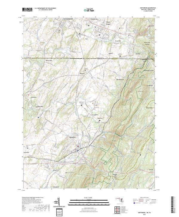
2023 Map of Smithsburg
USGS Topo · Published 2023About this map
The Maryland and Pennsylvania border corridor is defined by the steep elevation changes of South Mountain and Blue Mountain, where the Appalachian National Scenic Trail winds through high-altitude landmarks like High Rock and Quirauk Mtn. In the valley below, the landscape is a patchwork of small agricultural settlements and historic burial grounds, including the Ringgold Graveyard and Saint Pauls Graveyard. Water management is central to the area's geography, evidenced by the Edgemont Reservoir and Hagerstown Reservoir tucked into the mountain gaps.
Find a feature on this map
68 named features on this map. Tap any name to fly to it.
Don’t see what you’re looking for? This feature index may not catch every label — zoom into the map to look around manually.
Map Details
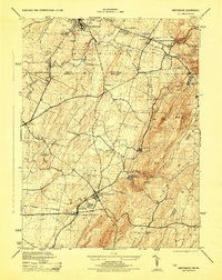
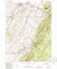
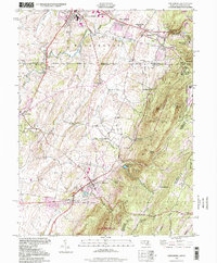
Editions of this 2023 Smithsburg Map
This is the sole edition of this map. No revisions or reprints were ever made.
Historical Maps of Pleasant Valley Through Time
4 maps found
Featured Locations
- Cavetown, MD
- Smithsburg, MD
- Waynesboro, PA
- Pen Mar, Washington Township
- Wayne Heights, Washington Township