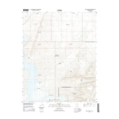
2014 Map of Snap Canyon West
USGS Topo · Published 2014About this map
Lake Mead dominates the western portion of this landscape, its waters reaching into desert alcoves such as Pidagon Cove and Gods Pocket. The terrain is defined by dramatic elevation changes where the Mojave Desert meets the rising elevations of the Sanup Plateau. To the east, the towering Grand Wash Cliffs form a massive geologic boundary, while the south is marked by the deep incision of the Lower Granite Gorge where the Colorado River continues its course.
Find a feature on this map
21 named features on this map. Tap any name to fly to it.
Don’t see what you’re looking for? This feature index may not catch every label — zoom into the map to look around manually.
Map Details
Editions of this 2014 Snap Canyon West Map
This is the sole edition of this map. No revisions or reprints were ever made.
Other maps of this area

1886 · Saint Thomas
USGS Topo · 1:250,000

1886 · Mt. Trumbull
USGS Topo · 1:250,000

1892 · Mt. Trumbull
USGS Topo · 1:250,000

1893 · Saint Thomas
USGS Topo · 1:250,000

1926 · Bonelli
USGS Topo · 1:96,000

1953 · Iceberg Canyon
USGS Topo · 1:62,500

1953 · Gold Butte
USGS Topo · 1:62,500

1953 · Grand Canyon
USGS Topo · 1:250,000

1954 · Las Vegas
USGS Topo · 1:250,000

1957 · Las Vegas
USGS Topo · 1:250,000