
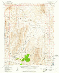
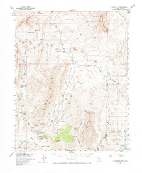
1953 Map of Gold Butte
USGS Topo · Published 1955About this map
Gold Butte sits at the heart of this desert landscape, surrounded by a complex network of mining claims and rugged mountain ridges. The 1953 field check documents a high concentration of mineral exploration, featuring the Gold Butte Mine, Tramp Mine, and the Lincoln Mine tucked along the slopes of Tramp Ridge. These operations were served by a series of unimproved roads and trails that linked isolated outposts like the Black Jack Mine and Granite Spring Mine to a remote landing field located in the valley near Paradise Gap.
Find a feature on this map
59 named features on this map. Tap any name to fly to it.
Don’t see what you’re looking for? This feature index may not catch every label — zoom into the map to look around manually.
Map Details
Editions of this 1953 Gold Butte Map
3 editions found
Other maps of this area

1886 · Saint Thomas
USGS Topo · 1:250,000

1886 · Mt. Trumbull
USGS Topo · 1:250,000

1892 · Mt. Trumbull
USGS Topo · 1:250,000

1893 · Saint Thomas
USGS Topo · 1:250,000

1926 · Bonelli
USGS Topo · 1:96,000

1953 · Overton Beach
USGS Topo · 1:62,500

1953 · Iceberg Canyon
USGS Topo · 1:62,500

1953 · Virgin Basin
USGS Topo · 1:62,500

1953 · Grand Canyon
USGS Topo · 1:250,000

1954 · Las Vegas
USGS Topo · 1:250,000