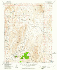
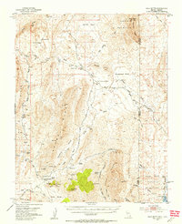
1953 Map of Gold Butte
USGS Topo · Published 1961About this map
Gold Butte serves as the focal point for this high-desert region, situated at a junction of historical mining activity and remote transportation routes. The 1953 landscape is defined by the extraction of minerals at sites like the Tramp Mine, Lincoln Mine, and Vermiculite Mine, scattered across Tramp Ridge and the surrounding basins. To the east, the boundary between Clark and Mohave counties bisects the terrain, leading toward the waters of the Lake Mead National Recreational Area. Access through this arid environment followed established corridors such as the Scanlon Ferry Road, which once connected these uplands to the historic crossing at Scanlon Ferry. This survey documents a critical period before modern development, highlighting isolated features like a Landing Field near the settlement and various natural water sources such as Horse Spring and Granite Spring that supported local prospecting and ranching.
Find a feature on this map
61 named features on this map. Tap any name to fly to it.
Don’t see what you’re looking for? This feature index may not catch every label — zoom into the map to look around manually.
Map Details
Editions of this 1953 Gold Butte Map
3 editions found
Other maps of this area

1886 · Saint Thomas
USGS Topo · 1:250,000

1886 · Mt. Trumbull
USGS Topo · 1:250,000

1892 · Mt. Trumbull
USGS Topo · 1:250,000

1893 · Saint Thomas
USGS Topo · 1:250,000

1926 · Bonelli
USGS Topo · 1:96,000
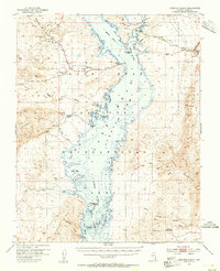
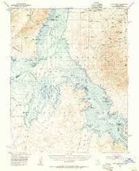
1953 · Overton Beach
USGS Topo · 1:62,500
1953 · Iceberg Canyon
USGS Topo · 1:62,500
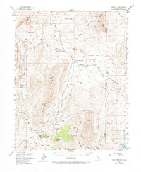
1953 · Gold Butte
USGS Topo · 1:62,500
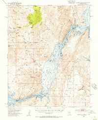
1953 · Virgin Basin
USGS Topo · 1:62,500

1953 · Grand Canyon
USGS Topo · 1:250,000