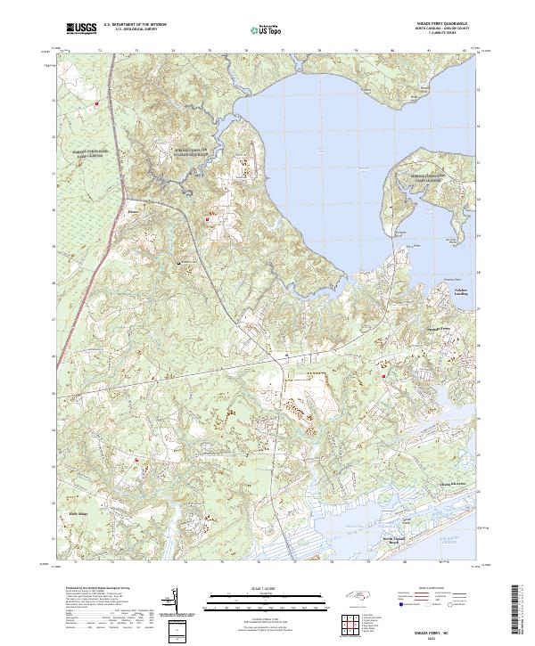
2022 Map of Sneads Ferry
USGS Topo · Published 2022About this map
Sneads Ferry and its surrounding coastal hamlets are defined by an intricate network of tidal creeks and bays where the mainland meets the Atlantic Ocean. This modern topographic study shows the established community of Sneads Ferry alongside newer developments like Chadwick Acres and the barrier island settlement of North Topsail Beach. The landscape is heavily influenced by the presence of large water bodies such as Stones Bay and Morgan Bay, which are connected to the open sea via the New River Inlet.
Find a feature on this map
124 named features on this map. Tap any name to fly to it.
Don’t see what you’re looking for? This feature index may not catch every label — zoom into the map to look around manually.
Map Details
Editions of this 2022 Sneads Ferry Map
This is the sole edition of this map. No revisions or reprints were ever made.
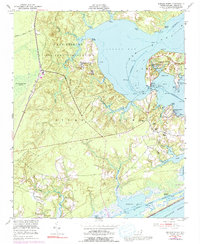
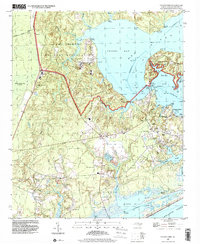
Historical Maps of Dixon Through Time
3 maps found