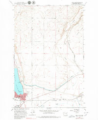
1956 Map of Soap Lake
USGS Topo · Published 1979About this map
Soap Lake serves as the focal point of this mid-century survey, revealing a landscape defined by the dramatic geology of the Grand Coulee and the engineering of the Columbia Basin Project. The town site is detailed with its street grid, Hospital, and nearby Lakeview Park, while a local Cem and several Water Tanks mark the edge of the settlement. The technical infrastructure of the era is prominent, featuring the West Canal and its associated Siphon, protected by a Levee system. To the east, the small community of Adrian sits at the junction of the Great Northern railroad and Crab Creek. This map captures a transitional period when traditional agricultural and transport networks integrated with large-scale water management systems, including the Omni Radio Range Sta and multiple Gravel Pits that supported local development.
Find a feature on this map
24 named features on this map. Tap any name to fly to it.
Don’t see what you’re looking for? This feature index may not catch every label — zoom into the map to look around manually.
Map Details
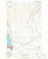
Editions of this 1956 Soap Lake Map
3 editions found
Other maps of this area

1953 · Ritzville
USGS Topo · 1:250,000

1956 · Ephrata
USGS Topo · 1:62,500

1956 · Stratford
USGS Topo · 1:24,000

1956 · Ephrata
USGS Topo · 1:24,000

1956 · Grant Orchards
USGS Topo · 1:24,000

1956 · Gloyd
USGS Topo · 1:24,000

1956 · Soap Lake
USGS Topo · 1:24,000

1959 · Ritzville
USGS Topo · 1:250,000

1965 · Ritzville
USGS Topo · 1:250,000

1965 · Jameson Lake SE
USGS Topo · 1:24,000