
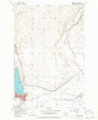
1956 Map of Soap Lake
USGS Topo · Published 1958About this map
The town of Soap Lake stands at the edge of the mineral-rich waters that give the area its name, reflecting the mid-century development of Grant County. The landscape is defined by the massive irrigation works of the Columbia Basin Project, including the West Canal and a prominent Siphon that traverse the coulee floor. These engineered features contrast with the natural elevations of High Hill and the rugged basalt formations of Pinto Ridge to the northeast.
Find a feature on this map
22 named features on this map. Tap any name to fly to it.
Don’t see what you’re looking for? This feature index may not catch every label — zoom into the map to look around manually.
Map Details
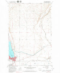
Editions of this 1956 Soap Lake Map
3 editions found
Other maps of this area

1953 · Ritzville
USGS Topo · 1:250,000

1956 · Ephrata
USGS Topo · 1:62,500

1956 · Stratford
USGS Topo · 1:24,000

1956 · Ephrata
USGS Topo · 1:24,000

1956 · Grant Orchards
USGS Topo · 1:24,000

1956 · Gloyd
USGS Topo · 1:24,000

1959 · Ritzville
USGS Topo · 1:250,000

1965 · Ritzville
USGS Topo · 1:250,000

1965 · Jameson Lake SE
USGS Topo · 1:24,000
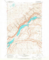
1965 · Park Lake
USGS Topo · 1:24,000