Loading...
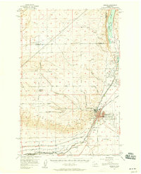
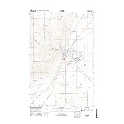
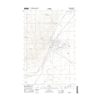
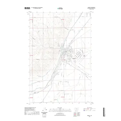
Loading map...1956 Map of Ephrata
USGS Topo · Published 1956About this map
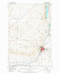
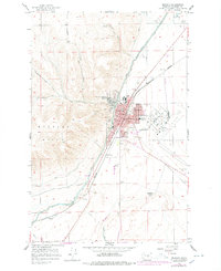
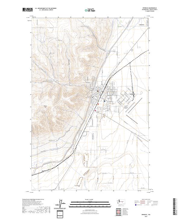
Ephrata and the neighboring community of Soap Lake serve as the primary hubs in this mid-century survey of the high desert plateau. The landscape is defined by a massive irrigation infrastructure, with the West Canal and Great Northern Canal cutting across the terrain to support regional agriculture. Local education and community life are well-documented, showing the Wheatland School (Aband) on Sagebrush Flat Road, as well as the Grandview Heights School, Parkway School, and Columbia Ridge School in the growing county seat.
Find a feature on this map
39 named features on this map. Tap any name to fly to it.
Don’t see what you’re looking for? This feature index may not catch every label — zoom into the map to look around manually.
Map Details
Date Portrayed1956
Date Published1956
PublisherU.S. Geological Survey
Map TypeTopographic
Scale1:62,500
Physical Dimensions17 x 21 inches
Editions of this 1956 Ephrata Map
2 editions found
Historical Maps of Ephrata Through Time
7 maps found
Featured Locations
Source Details
SourceU.S. Geological Survey
CopyrightPublic Domain