
1956 Map of Stratford
USGS Topo · Published 1957About this map
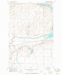
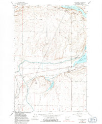
The Great Northern railway corridor serves as the primary artery for Grant County in the mid-1950s, connecting the small settlements of Stratford, Adco, and Adrian. This arid landscape is defined by the massive Columbia Basin Project infrastructure, which brought significant hydrological changes to the Coulee region. The irrigation network is prominently featured, including the Main Canal, West Canal, and East Low Canal, which redirect water around the basalt coulees and natural features like Pinto Ridge.
Find a feature on this map
27 named features on this map. Tap any name to fly to it.
Don’t see what you’re looking for? This feature index may not catch every label — zoom into the map to look around manually.
Map Details
Editions of this 1956 Stratford Map
3 editions found
Other maps of this area

1953 · Ritzville
USGS Topo · 1:250,000

1956 · Grant Orchards
USGS Topo · 1:24,000

1956 · Gloyd
USGS Topo · 1:24,000

1956 · Wilson Creek SW
USGS Topo · 1:24,000

1956 · Wilson Creek NW
USGS Topo · 1:24,000

1956 · Soap Lake
USGS Topo · 1:24,000

1956 · Wilson Creek
USGS Topo · 1:62,500

1959 · Ritzville
USGS Topo · 1:250,000

1965 · Ritzville
USGS Topo · 1:250,000
1965 · Park Lake
USGS Topo · 1:24,000