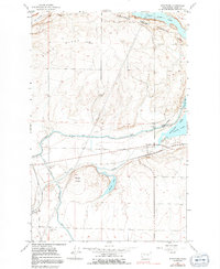
1956 Map of Stratford
USGS Topo · Published 1991About this map
Pinto Ridge and Black Butte dominate this landscape in Grant County, where the intricate water management systems of the mid-20th century are clearly visible. The map shows the massive infrastructure of the Columbia Basin Project, including the Main Canal, West Canal, and Low Canal, alongside specialized features like a Siphon and Spoil Bank. These irrigation works transformed the arid terrain surrounding small settlements like Stratford and Adrian.
Find a feature on this map
24 named features on this map. Tap any name to fly to it.
Don’t see what you’re looking for? This feature index may not catch every label — zoom into the map to look around manually.
Map Details
Editions of this 1956 Stratford Map
3 editions found
Other maps of this area

1953 · Ritzville
USGS Topo · 1:250,000

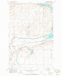
1956 · Stratford
USGS Topo · 1:24,000

1956 · Grant Orchards
USGS Topo · 1:24,000

1956 · Gloyd
USGS Topo · 1:24,000

1956 · Wilson Creek SW
USGS Topo · 1:24,000

1956 · Wilson Creek NW
USGS Topo · 1:24,000

1956 · Soap Lake
USGS Topo · 1:24,000

1956 · Wilson Creek
USGS Topo · 1:62,500

1959 · Ritzville
USGS Topo · 1:250,000

1965 · Ritzville
USGS Topo · 1:250,000