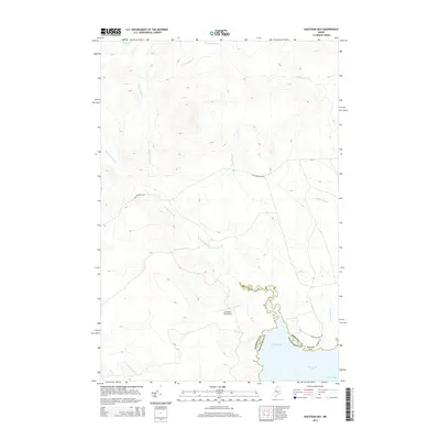
2014 Map of Socatean Bay
USGS Topo · Published 2014About this map
Socatean Bay and its surrounding Maine timberlands define this landscape in Somerset Co. The northwestern reaches of Moosehead Lake dominate the lower right quadrant, where Socatean Point marks the transition into the deeper waters of North Bay. This area is characterized by a dense network of watercourses, including Socatean Stream and Public Lot Brook, which drain into the bay from the higher elevations of the interior.
Find a feature on this map
18 named features on this map. Tap any name to fly to it.
Don’t see what you’re looking for? This feature index may not catch every label — zoom into the map to look around manually.
Map Details
Editions of this 2014 Socatean Bay Map
This is the sole edition of this map. No revisions or reprints were ever made.
Other maps of this area

1920 · Moosehead Lake
USGS Topo · 1:62,500

1921 · Brassua Lake
USGS Topo · 1:62,500

1922 · Moosehead Lake
USGS Topo · 1:62,500

1923 · Brassua Lake
USGS Topo · 1:62,500

1930 · Moosehead Lake
USGS Topo · 1:62,500

1944 · Brassua Lake
USGS Topo · 1:62,500

1944 · Moosehead Lake
USGS Topo · 1:62,500

1954 · Seboomook Lake
USGS Topo · 1:62,500

1954 · North East Carry
USGS Topo · 1:62,500

1954 · Millinocket
USGS Topo · 1:250,000
Featured Places
- Big W Township, ME
- West Middlesex Canal Grant Township, ME
- Tomhegan Township, ME
- Plymouth Township, ME
- Seboomook Township, ME