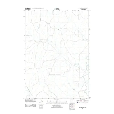
2012 Map of Soldier Creek
USGS Topo · Published 2012About this map
The Bozeman Trl cuts across this landscape in Johnson County, marking a historic corridor through a region defined by its ranching water infrastructure and geological formations. The Powder River snakes along the eastern edge of the quadrangle, while the drainage of Soldier Cr and its N Prong Soldier Cr branch out across the central plains. Water management is central to the area's geography, evidenced by several small impoundments including Reno Reservoir, Palmer Reservoir, and Twomile Reservoir. To the south, the Smith Cut Anticline provides a notable topographical feature amidst the draws and ridges. A network of rural routes, such as 9 Mile Rd and the Buffalo Sussex Cutoff Rd, connect the scattered homesteads and grazing lands typical of this high-plains environment in the early twenty-first century.
Find a feature on this map
13 named features on this map. Tap any name to fly to it.
Don’t see what you’re looking for? This feature index may not catch every label — zoom into the map to look around manually.
Map Details
Editions of this 2012 Soldier Creek Map
This is the sole edition of this map. No revisions or reprints were ever made.
Other maps of this area

1953 · Hoe Ranch
USGS Topo · 1:24,000

1953 · Fort Reno
USGS Topo · 1:24,000

1954 · House Creek
USGS Topo · 1:24,000

1955 · Arminto
USGS Topo · 1:250,000

1958 · Arminto
USGS Topo · 1:250,000

1961 · Soldier Creek
USGS Topo · 1:24,000

1961 · Fourmile Reservoir
USGS Topo · 1:24,000

1961 · Figure 8 Reservoir
USGS Topo · 1:24,000

1961 · Provence Ranch
USGS Topo · 1:24,000

1961 · Elaine Draw
USGS Topo · 1:24,000