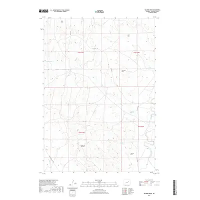
2017 Map of Soldier Creek
USGS Topo · Published 2017About this map
Powder River snakes through the eastern landscape of this Johnson County survey, anchoring a region defined by complex drainage systems and geological formations. The terrain is marked by significant topographical features such as the Smith Cut Anticline, while water management is evident through a series of namesake impoundments including Palmer Reservoir, Twomile Reservoir, and Reno Reservoir. These features suggest a landscape managed for livestock or resource extraction in a semi-arid environment.
Find a feature on this map
19 named features on this map. Tap any name to fly to it.
Don’t see what you’re looking for? This feature index may not catch every label — zoom into the map to look around manually.
Map Details
Editions of this 2017 Soldier Creek Map
This is the sole edition of this map. No revisions or reprints were ever made.
Other maps of this area

1953 · Hoe Ranch
USGS Topo · 1:24,000

1953 · Fort Reno
USGS Topo · 1:24,000

1954 · House Creek
USGS Topo · 1:24,000

1955 · Arminto
USGS Topo · 1:250,000

1958 · Arminto
USGS Topo · 1:250,000

1961 · Soldier Creek
USGS Topo · 1:24,000

1961 · Fourmile Reservoir
USGS Topo · 1:24,000

1961 · Figure 8 Reservoir
USGS Topo · 1:24,000

1961 · Provence Ranch
USGS Topo · 1:24,000

1961 · Elaine Draw
USGS Topo · 1:24,000