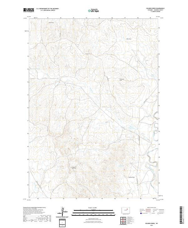
2021 Map of Soldier Creek
USGS Topo · Published 2021About this map
The Powder River carves through this corner of Johnson County, Wyoming, serving as the primary drainage for a landscape defined by deep draws and geologic folds. The presence of the Smith Cut Anticline provides a point of interest for those studying the subsurface structure of the region, while the surface is marked by a series of intermittent watercourses including Soldier Cr and its N Prong Soldier Cr. Water management is evident through a network of small catchments such as Palmer Reservoir, Reno Reservoir, and Twomile Reservoir, which support the local ranching economy. Transportation across this arid terrain is facilitated by several established routes, including the Buffalo Sussex Cutoff Rd and Nine Mile Rd, which navigate the various coulees like Fort Reno Draw and Reno Draw.
Find a feature on this map
19 named features on this map. Tap any name to fly to it.
Don’t see what you’re looking for? This feature index may not catch every label — zoom into the map to look around manually.
Map Details
Editions of this 2021 Soldier Creek Map
This is the sole edition of this map. No revisions or reprints were ever made.
Other maps of this area

1953 · Hoe Ranch
USGS Topo · 1:24,000

1953 · Fort Reno
USGS Topo · 1:24,000

1954 · House Creek
USGS Topo · 1:24,000

1955 · Arminto
USGS Topo · 1:250,000

1958 · Arminto
USGS Topo · 1:250,000

1961 · Soldier Creek
USGS Topo · 1:24,000

1961 · Fourmile Reservoir
USGS Topo · 1:24,000

1961 · Figure 8 Reservoir
USGS Topo · 1:24,000

1961 · Provence Ranch
USGS Topo · 1:24,000

1961 · Elaine Draw
USGS Topo · 1:24,000