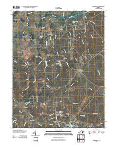
2010 Map of Somerville
USGS Topo · Published 2010About this map
Brent Town and the neighboring community of Sowego anchor the northern reaches of this rural landscape, which is defined by an intricate network of waterways like Cedar Run and Town Run. This 2010 survey reveals a countryside where historical crossroads settlements such as Bristersburg, Cromwell, and Somerville persist alongside newer residential clusters like Walnut Ridge Estates. Small-scale industry and water management are evident at Tacketts Mill and Winslow Dam, while the presence of Quantico Mcb in the eastern portion of the quadrangle indicates the area's strategic proximity to the military installation. Genealogists will find several family-named and local burial grounds, including Hearts Delight Cemetery, Carver Cemetery, and Shiloh Cemetery. The terrain is further characterized by numerous small ponds and lakes, notably Big Lake Arrowhead and Hidden Lake, which reflect the localized hydrography of the Aquia Creek watershed.
Find a feature on this map
71 named features on this map. Tap any name to fly to it.
Don’t see what you’re looking for? This feature index may not catch every label — zoom into the map to look around manually.
Map Details
Editions of this 2010 Somerville Map
This is the sole edition of this map. No revisions or reprints were ever made.
Other maps of this area

1887 · Spottsylvania
USGS Topo · 1:125,000

1889 · Fredericksburg
USGS Topo · 1:125,000

1890 · Mt. Vernon
USGS Topo · 1:125,000

1891 · Mt. Vernon
USGS Topo · 1:125,000

1892 · Fredericksburg
USGS Topo · 1:125,000

1892 · Spottsylvania
USGS Topo · 1:125,000

1894 · Warrenton
USGS Topo · 1:125,000

1894 · Fredericksburg
USGS Topo · 1:125,000

1894 · Mt. Vernon
USGS Topo · 1:125,000

1897 · Mt. Vernon
USGS Topo · 1:125,000