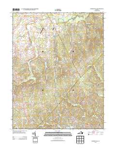
2013 Map of Somerville
USGS Topo · Published 2013About this map
Quantico Marine Corps Base occupies a significant portion of this eastern Virginia landscape, where military training grounds meet quiet rural hamlets. The map documents the intricate network of watercourses including Aquia Cr, Goslin Run, and Cannon Cr, which define the drainage of the region. Local aviation is represented by private strips like Maples Field Airport and Breeden Airport, while the residential patterns show a mix of old intersections like Davids Crossroads and modern developments such as Rock Hill Manors and Stafford Station.
Find a feature on this map
88 named features on this map. Tap any name to fly to it.
Don’t see what you’re looking for? This feature index may not catch every label — zoom into the map to look around manually.
Map Details
Editions of this 2013 Somerville Map
This is the sole edition of this map. No revisions or reprints were ever made.
Other maps of this area

1887 · Spottsylvania
USGS Topo · 1:125,000

1889 · Fredericksburg
USGS Topo · 1:125,000

1890 · Mt. Vernon
USGS Topo · 1:125,000

1891 · Mt. Vernon
USGS Topo · 1:125,000

1892 · Fredericksburg
USGS Topo · 1:125,000

1892 · Spottsylvania
USGS Topo · 1:125,000

1894 · Warrenton
USGS Topo · 1:125,000

1894 · Fredericksburg
USGS Topo · 1:125,000

1894 · Mt. Vernon
USGS Topo · 1:125,000

1897 · Mt. Vernon
USGS Topo · 1:125,000