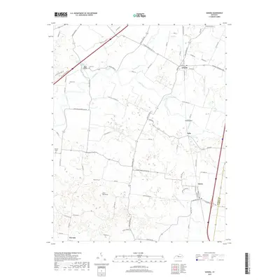
2019 Map of Sonora
USGS Topo · Published 2019About this map
The Nolin River carves a winding path through the central corridor of this Hardin County landscape, connecting the established communities of Glendale and Sonora. The map captures a mix of rural agrarian land and small-town development, where the interstate corridor on the eastern edge contrasts with the quiet, spring-fed terrains of the west. Local genealogy is well-represented through numerous family and denominational burial grounds, including Stone Cem, Jeffries Cem, and Old Saint Ignatius Cem.
Find a feature on this map
77 named features on this map. Tap any name to fly to it.
Don’t see what you’re looking for? This feature index may not catch every label — zoom into the map to look around manually.
Map Details
Editions of this 2019 Sonora Map
This is the sole edition of this map. No revisions or reprints were ever made.
Other maps of this area

1925 · Cub Run
USGS Topo · 1:62,500

1932 · Big Clifty
USGS Topo · 1:62,500

1934 · Munfordville
USGS Topo · 1:48,000

1935 · Elizabethtown
USGS Topo · 1:48,000

1937 · Munfordville
USGS Topo · 1:62,500

1938 · Elizabethtown
USGS Topo · 1:62,500

1948 · Cecilia
USGS Topo · 1:24,000

1949 · Sonora
USGS Topo · 1:24,000

1949 · Tonieville
USGS Topo · 1:24,000

1949 · Summit
USGS Topo · 1:24,000