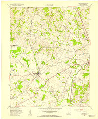
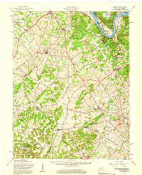
1948 Map of Cecilia
USGS Topo · Published 1953About this map
The junction of the Illinois Central and Louisville and Nashville railroads at Cecilia provides the central focal point for this 1948 survey of Hardin County. This rail convergence, coupled with the path of the Dixie Highway further east, highlights a landscape transitioning from traditional rural settlement to a more connected regional network. The map preserves the locations of several smaller community nodes such as St John, where the St Johns Ch stands, and Rineyville to the north.
Find a feature on this map
19 named features on this map. Tap any name to fly to it.
Don’t see what you’re looking for? This feature index may not catch every label — zoom into the map to look around manually.
Map Details
Editions of this 1948 Cecilia Map
This is the sole edition of this map. No revisions or reprints were ever made.
Other maps of this area
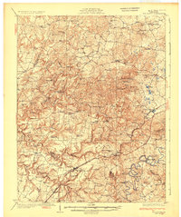
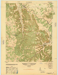
1932 · Big Clifty
USGS Topo · 1:62,500
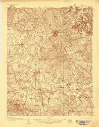
1935 · Elizabethtown
USGS Topo · 1:48,000

1936 · Vine Grove
USGS Topo · 1:62,500
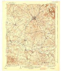
1938 · Elizabethtown
USGS Topo · 1:62,500

1941 · Ekron
USGS Topo · 1:62,500

1943 · Vine Grove
USGS Topo · 1:62,500
1946 · Colesburg
USGS Topo · 1:24,000

1946 · Vine Grove
USGS Topo · 1:24,000

1946 · Vine Grove
USGS Topo · 1:62,500
1947 · Ekron
USGS Topo · 1:62,500