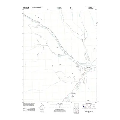
2011 Map of South Fork West
USGS Topo · Published 2011About this map
The Rio Grande and its southern fork dominate this mountainous landscape, carving through the dramatic Palisades and deep-cut canyons. This 2011 survey captures the development of South Fork and its surrounding communities, where irrigation remains a critical element of land management as seen in the Southfork-Highline Ditch and Church Ditch. The presence of several established recreational and residential sites, including Masonic Park, Model T Park, and the Riverside Ranch, illustrates the area's transition toward a seasonal and retreat-oriented economy.
Find a feature on this map
37 named features on this map. Tap any name to fly to it.
Don’t see what you’re looking for? This feature index may not catch every label — zoom into the map to look around manually.
Map Details
Editions of this 2011 South Fork West Map
This is the sole edition of this map. No revisions or reprints were ever made.
Other maps of this area

1914 · Creede
USGS Topo · 1:125,000

1916 · Creede
USGS Topo · 1:125,000

1945 · Durango
USGS Topo · 1:250,000

1953 · Durango
USGS Topo · 1:250,000

1954 · Durango
USGS Topo · 1:250,000

1957 · Spar City
USGS Topo · 1:62,500

1959 · Creede
USGS Topo · 1:62,500

1961 · Durango
USGS Topo · 1:250,000

1963 · Durango
USGS Topo · 1:250,000

1966 · Durango
USGS Topo · 1:250,000