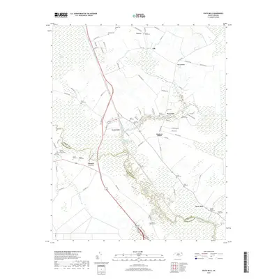
2019 Map of South Mills
USGS Topo · Published 2019About this map
The Intracoastal Waterway and the historic Dismal Swamp Canal converge at South Mills, a community shaped by the intricate water networks of the Great Dismal Swamp. This low-lying landscape along the Pasquotank River is defined by its deep genealogical roots, visible through a high concentration of private family burial grounds such as the Powell Family Cem, WS Jones Family Cem, and Rhodes Family Cem.
Find a feature on this map
86 named features on this map. Tap any name to fly to it.
Don’t see what you’re looking for? This feature index may not catch every label — zoom into the map to look around manually.
Map Details
Editions of this 2019 South Mills Map
This is the sole edition of this map. No revisions or reprints were ever made.
Other maps of this area

1939 · Moyock
USGS Topo · 1:62,500

1940 · Lake Drummond
USGS Topo · 1:62,500

1940 · South Mills
USGS Topo · 1:62,500

1945 · Lake Drummond
USGS Topo · 1:62,500

1946 · Moyock
USGS Topo · 1:62,500

1948 · Elizabeth City
USGS Topo · 1:62,500

1952 · South Mills
USGS Topo · 1:62,500

1953 · Norfolk
USGS Topo · 1:250,000
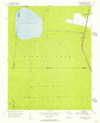
1954 · Lake Drummond
USGS Topo · 1:24,000
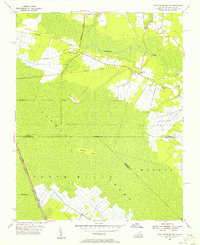
1954 · Lake Drummond SE
USGS Topo · 1:24,000