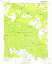
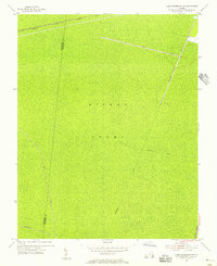
1954 Map of Lake Drummond SE
USGS Topo · Published 1956About this map
The Dismal Swamp dominates this mid-century survey, defining the borderlands between Virginia and North Carolina. The landscape is a complex network of hydrological engineering and rural life, anchored by the Intracoastal Waterway (Dismal Swamp Canal) and the Hamburg Ditch. These waterways historically managed the wetlands to allow for the timber and agricultural activity seen in the scattered clearings.
Find a feature on this map
20 named features on this map. Tap any name to fly to it.
Don’t see what you’re looking for? This feature index may not catch every label — zoom into the map to look around manually.
Map Details
Editions of this 1954 Lake Drummond SE Map
Other maps of this area

1939 · Moyock
USGS Topo · 1:62,500

1940 · Lake Drummond
USGS Topo · 1:62,500

1940 · South Mills
USGS Topo · 1:62,500

1945 · Lake Drummond
USGS Topo · 1:62,500

1946 · Moyock
USGS Topo · 1:62,500

1948 · Elizabeth City
USGS Topo · 1:62,500

1952 · South Mills
USGS Topo · 1:62,500

1953 · Norfolk
USGS Topo · 1:250,000
1954 · Fentress
USGS Topo · 1:24,000
1954 · Lake Drummond NW
USGS Topo · 1:24,000