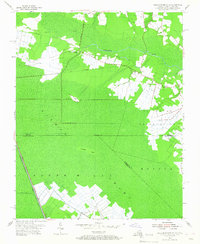
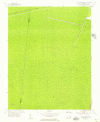
1954 Map of Lake Drummond SE
USGS Topo · Published 1967About this map
The Dismal Swamp dominates this mid-century landscape, a dense wetland interior straddling the Virginia-North Carolina border. Human presence is concentrated on the margins, particularly around Cornland and the eastern edge where an extensive U S Naval Reservation meets the marsh. The drainage and transport patterns of the era are defined by a network of engineered waterways, including the Dismal Swamp Canal and Lake Drummond Canal, which run alongside the primary north-south Highway. Local life is anchored by small community landmarks such as Gertie Sch and Bethel Ch. Traces of earlier industry are evident in the Old Railroad Grade cutting across the north, while topographic elevations like Smith Ridge and Culpeper Island offer the only relief in the otherwise flat, aqueous terrain of Norfolk and Currituck counties.
Find a feature on this map
17 named features on this map. Tap any name to fly to it.
Don’t see what you’re looking for? This feature index may not catch every label — zoom into the map to look around manually.
Map Details
Editions of this 1954 Lake Drummond SE Map
Other maps of this area

1939 · Moyock
USGS Topo · 1:62,500

1940 · Lake Drummond
USGS Topo · 1:62,500

1940 · South Mills
USGS Topo · 1:62,500

1945 · Lake Drummond
USGS Topo · 1:62,500

1946 · Moyock
USGS Topo · 1:62,500

1948 · Elizabeth City
USGS Topo · 1:62,500

1952 · South Mills
USGS Topo · 1:62,500

1953 · Norfolk
USGS Topo · 1:250,000
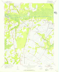
1954 · Fentress
USGS Topo · 1:24,000
1954 · Lake Drummond NW
USGS Topo · 1:24,000