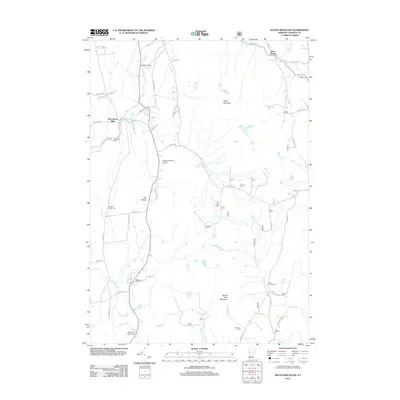
2012 Map of South Mountain
USGS Topo · Published 2012About this map
New Haven River waters flow through this Vermont landscape, connecting the small clusters of New Haven Mills and Bristol Flats at a time when rural utility and conservation infrastructure define the hillsides. The presence of the Middlebury Water Supply and Middlebury Waterworks highlights the critical role this terrain plays in regional resource management. To the east, the geography rises into the peaks of South Mountain and Robert Frost Mountain, providing a backdrop for local recreation at the Elephant Mountain Camping Area. For family historians, the sheet is exceptionally well-marked with burial sites including Case Street Cem, Cushman Cem, and Saint Therese Cem, which serve as cornerstones for tracing local lineage in this part of Addison County.
Find a feature on this map
62 named features on this map. Tap any name to fly to it.
Don’t see what you’re looking for? This feature index may not catch every label — zoom into the map to look around manually.
Map Details
Editions of this 2012 South Mountain Map
This is the sole edition of this map. No revisions or reprints were ever made.
Other maps of this area

1902 · Brandon
USGS Topo · 1:62,500

1903 · Middlebury
USGS Topo · 1:62,500

1904 · Brandon
USGS Topo · 1:62,500

1905 · Middlebury
USGS Topo · 1:62,500

1915 · Rochester
USGS Topo · 1:62,500

1917 · Rochester
USGS Topo · 1:62,500

1919 · Lincoln Mountain
USGS Topo · 1:62,500

1920 · Lincoln Mountain
USGS Topo · 1:48,000

1920 · Brandon
USGS Topo · 1:62,500

1920 · Middlebury
USGS Topo · 1:62,500