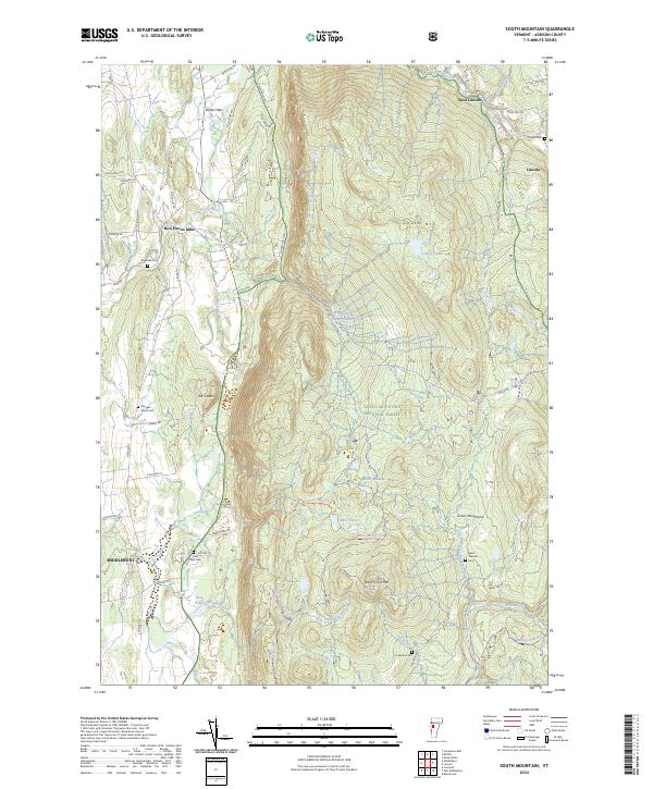
2024 Map of South Mountain
USGS Topo · Published 2024About this map
The New Haven River cuts through this Addison County landscape, defining the valley between the Bristol Cliffs Wilderness and the eastern edge of Middlebury. The terrain is characterized by the high peaks of the Green Mountains, including South Mtn and Robert Frost Mtn, which provide a natural backdrop to small settlements like Bristol Flats and Lincoln. The presence of several distinct burial grounds, such as Saint Therese Cem and the Munger Street Cem, offers valuable points of reference for genealogists tracing families in the region. In the more secluded areas, bodies of water like Abbey Pond and Higgins Pond are reached by trails such as the Beaver Meadow Trl, illustrating the persistent balance between early Vermont settlement patterns and the preserved environments of the Green Mountain National Forest.
Find a feature on this map
66 named features on this map. Tap any name to fly to it.
Don’t see what you’re looking for? This feature index may not catch every label — zoom into the map to look around manually.
Map Details
Editions of this 2024 South Mountain Map
This is the sole edition of this map. No revisions or reprints were ever made.
Other maps of this area

1902 · Brandon
USGS Topo · 1:62,500

1903 · Middlebury
USGS Topo · 1:62,500

1904 · Brandon
USGS Topo · 1:62,500

1905 · Middlebury
USGS Topo · 1:62,500

1915 · Rochester
USGS Topo · 1:62,500

1917 · Rochester
USGS Topo · 1:62,500

1919 · Lincoln Mountain
USGS Topo · 1:62,500

1920 · Lincoln Mountain
USGS Topo · 1:48,000

1920 · Brandon
USGS Topo · 1:62,500

1920 · Middlebury
USGS Topo · 1:62,500