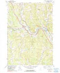
1981 Map of South Royalton
USGS Topo · Published 1990About this map
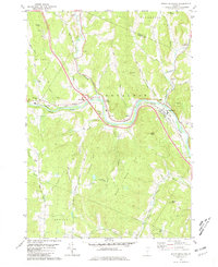
The White River valley serves as the primary corridor for settlement and transportation in this part of Windsor County, where the Central Vermont railroad winds alongside the water. The village of South Royalton emerges as the principal hub, anchored by the South Royalton High Sch and several neighborhood burial grounds such as Riverview Cem and Haven Cem. The landscape is defined by the convergence of the First Branch White River and Second Branch White River, which drain the surrounding highlands of Royalton Hill and Elephant Hill. Numerous rural roads, including Stage Road and Woodstock Road, connect smaller communities like East Bethel and North Royalton. The transition from agrarian valley life to industrial activity is evident in the presence of a Quarry near Quarry Hill and a Gravel Pit along the riverbanks, reflecting the local extraction economy of the late twentieth century.
Find a feature on this map
48 named features on this map. Tap any name to fly to it.
Don’t see what you’re looking for? This feature index may not catch every label — zoom into the map to look around manually.
Map Details
Editions of this 1981 South Royalton Map
2 editions found
Other maps of this area

1896 · Strafford
USGS Topo · 1:62,500

1906 · Hanover
USGS Topo · 1:62,500

1908 · Hanover
USGS Topo · 1:62,500

1911 · Woodstock
USGS Topo · 1:62,500

1913 · Woodstock
USGS Topo · 1:62,500

1919 · Royalton
USGS Topo · 1:62,500

1924 · Randolph
USGS Topo · 1:48,000

1926 · Randolph
USGS Topo · 1:62,500

1943 · Woodstock
USGS Topo · 1:62,500

1944 · Strafford
USGS Topo · 1:62,500