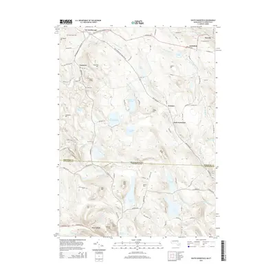
2015 Map of South Sandisfield
USGS Topo · Published 2015About this map
Sandisfield and its surrounding hamlets define this borderland where the Berkshire hills meet Litchfield County. The landscape is characterized by a high concentration of water bodies and reservoirs, including the Thousand Acre Swamp Reservoir, Windemere Lake Reservoir, and the prominent Doolittle Lake to the south. Small settlements like Southfield and Montville are connected by a network of winding roads such as Sandisfield Rd and New Marlborough Sandisfield Center Rd, reflecting a settlement pattern that follows the complex topography of Woodruff Mtn and Haystack Mtn.
Find a feature on this map
107 named features on this map. Tap any name to fly to it.
Don’t see what you’re looking for? This feature index may not catch every label — zoom into the map to look around manually.
Map Details
Editions of this 2015 South Sandisfield Map
This is the sole edition of this map. No revisions or reprints were ever made.
Other maps of this area

1885 · Sheffield
USGS Topo · 1:62,500

1888 · Sheffield
USGS Topo · 1:62,500

1888 · Sandisfield
USGS Topo · 1:62,500

1891 · Sheffield
USGS Topo · 1:62,500

1892 · Winsted
USGS Topo · 1:62,500

1892 · Cornwall
USGS Topo · 1:62,500

1893 · Sheffield
USGS Topo · 1:62,500

1893 · Cornwall
USGS Topo · 1:62,500

1893 · Sandisfield
USGS Topo · 1:62,500

1897 · Sandisfield
USGS Topo · 1:62,500